 |
| Paul on Fishlake Rocks |
Oh boy, this was going to be a hot one - very hot, in fact, and by the end once we, that being me, Tim Jenkinson and Paul Buck, had departed our own ways, it became unbearable. But, before I jump to conclusions, let's go back to the beginning of the walk where, after some 5/6 months away from these two chaps, we finally reunited at the Forest Inn at Hexworthy.
We headed up the road out of the hamlet, crossing another to pass through a gate to ascend onto the moor proper via a rather overgrown, gorsey (yes, that's a word) track to pass through another gate and then scale a stile to make for the beautiful, if rather small, Horse Ford Cross.
 |
| Horse Ford Cross |
 |
Horse Ford Cross
|
We rejoined the well-defined track, but only briefly as I wanted to revisit the significant bedrock known as Down Ridge Slab.
 |
On Down Ridge Slab
|
 |
Down Ridge Slab
|
Crossing over O Brook, or so I believe this upper section of the watercourse to bear that name, we continued uphill towards the northern end of the magnificent gully dug out by the tinners known as 'The Henroost'. In its time, this would've been a right old scar in the landscape, but now it has been reclaimed by nature and is a fascinating place sheltered from the elements, with huge granite walls towering above the onlooker. Paul, unlike Tim and I, chose to walk through it again whilst I preferred seeing it from above.
 |
| The Henroost Tinners’ Hut SX 65119 71064 |
 |
| The Henroost |
I was now entering unfamiliar territory as we progressed towards the very long tinners' gert called Skir Gut (a lovely name, I agree) that had been exploited by man for several years. Now, though, although fairly well integrated in the landscape, it does give off a rather strange feeling, imagining what life would've been like during the workings.
After passing the head of the stream, I noticed two, rounded plastic objects that are likely cattle-related and, shortly after, Tim spotted an upright wooden post. All of these are situated on Skir Hill, although the map places the name slightly east but with the summit, if it also be referred to by the same name at 487m, to the west which we did not visit.
 |
Skir Gut
|
 |
| Strange Cattle Thingy on Skir Hill |
 |
| Skir Hill Post SX 64915 70161 (estimate) |
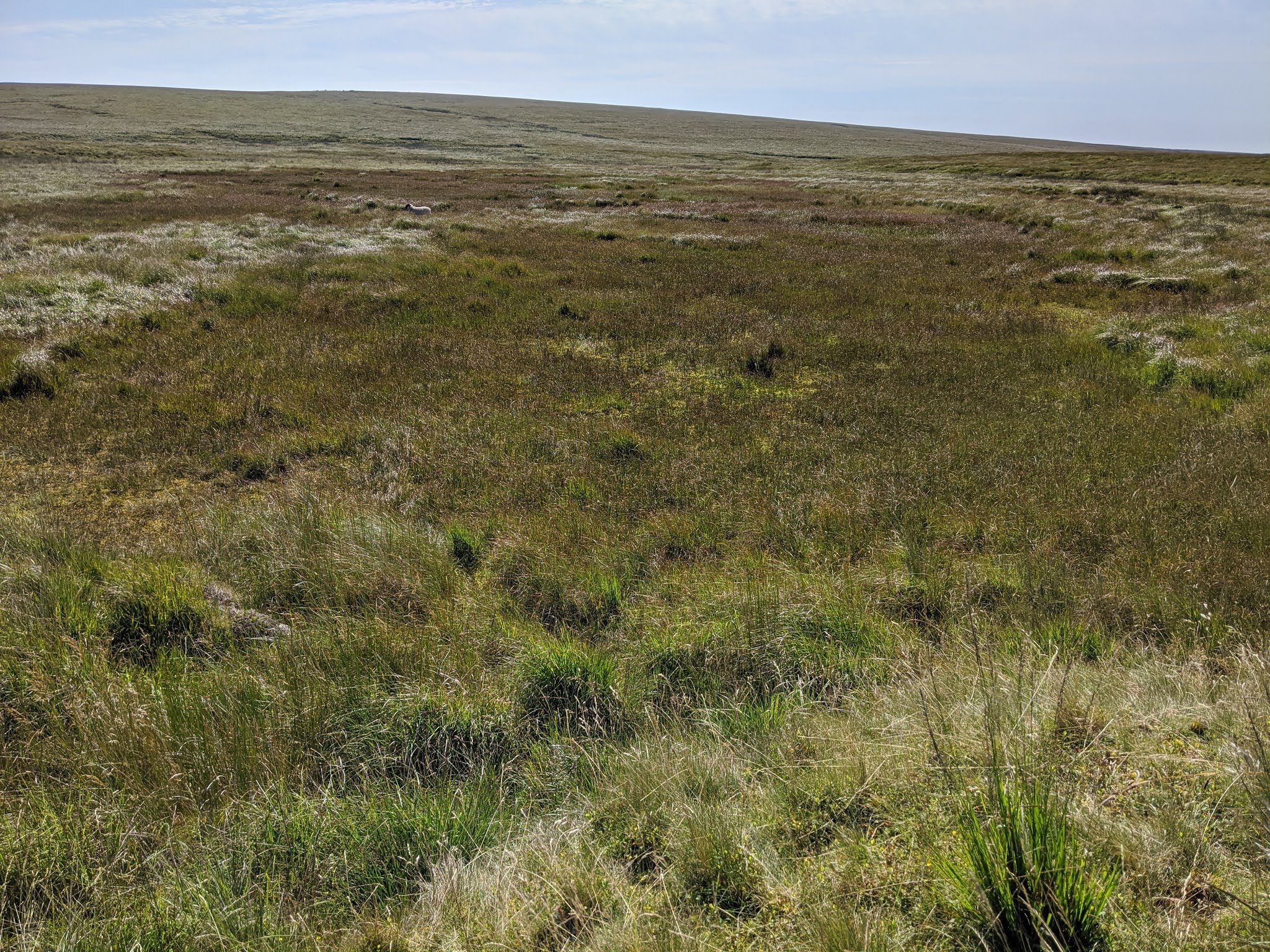
We tried to follow any track we could find heading southward to the northern edge of the lonely Aune Head Mires. This place, on a day like today where there is a calm breeze, is a breathtaking and evocative experience; immersing yourself at the head of one of Dartmoor's main rivers amid the swaying grass away from modern civilisation is quite captivating.
Right, enough of that, back to the route we took to reach the Luckcombe Sotne... this is situated on the north-western side of the mire and is an easy spot given the lack of other rocks in this area (and this goes for much of the South Moor; it is quite featureless). Sadly (or maybe not for some), the rock bears no inscription and is simply named because of its isolated position.
 |
| Aune Head Mires |
 |
Paul approaches the Luckcombe Stone
|
 |
| The Luckcombe Stone |
We had a quick stop here, all three of us, to have a drink (which was most welcome as my shoulders were already unhappy about the weight they were carrying... it was perhaps an excessive amount of water, alright?!) before taking a surprisingly firm track to Nakers (Naker's) Hill, although since it skirted the east flank we had to off-road a little to the summit.
The top, at 488m above sea level, is among the highest of the hills that form the bulk of the South Moor and from here we could see Cox Tor, Great Staple Tor, North Hessary Tor, and Great Mis Tor to the west, while all other viewpoints were either obstructed by Ryder's Hill or by other ground that sits only a little lower.
I was a little surprised to see that the tinners had also carried out extensive works up here; I can imagine during winter when the ground is sodden and in the mists that making a living here would've been pretty miserable.
 |
Ascending Nakers Hill
|
 |
| Nakers Pool SX 64474 68800 |
 |
Nakers Hill looking north to Hamel Down and Bonehill Down
|
 |
Nakers Hill
|
We descended south-westward to pass through the north-westernmost part of the notorious Fishlake Mire. The going in this area at this time of year is pretty good, but as soon as you stepped into those reeds it was a different story. Paul led Tim and I through the long, thick grass but, of course, I went over halfway through the experience.
 |
| Fishlake Mire |
Up over the brow of the hill, we came to our next prize, an outcrop dubbed 'Fishlake Rocks' by Dartmoor Boulderer Jason Maddick. They are very good, better than I was expecting consisting of, as Tim counted, at least five modest granite slabs grouped together on the very brink of the depression being of noticeably paler composition than other exposed rocks on Dartmoor. They are clearly a good landmark and it is shocking to find no depiction of this particular area on OS Maps.
People have certainly deviated to them since there are photos on the internet, but none name them.
 |
| Fishlake Rocks SX 63986 68068 |
 |
| Fishlake Rocks SX 63986 68068 |
 |
| Fishlake Rocks SX 63986 68068 |
The same, though, cannot be said for the next rock cluster which sits on the eastern slope of Green Hill. These rocks are rather lowly, like Fishlake Rocks but lacked its characteristics and are very spread out and concealed by reeds. The location is pleasant, but these rocks weren't as good as I had hoped.
 |
| Rocks on the side of Green Hill SX 64099 67840 |
 |
| Rocks on the side of Green Hill SX 64099 67840 |
 |
| Rocks on the side of Green Hill SX 64099 67840 |
We moved on quickly, taking a visual bearing to the massive Redlake Spoil Heap to the south where we were headed. We soon, after hopping over some bony ground, came to the path that links the heap with Green Hill. Upon arrival, I was shocked to see so many people there, all taking advantage of the lake.
It was quite amusing to see people drying their shoes and socks off on the former foundations of the buildings and machinery that once stood here.
 |
Redlake Spoil Heap... someone is up there
|
 |
| Redlake 'lake' |
 |
Very clever!
|
 |
Redlake
|
We skirted the southern side of the main lake before coming to a fork where, had we turned right, we would've come across the Cracker Stone much quicker but the option to fork left would take in Red Lake Ford (not that I knew that at the time), so that option was unanimously chosen and Tim led the way through pretty horrid ground but, unexpectedly, he took us directly to the ford which can't be seen until you're there. I suppose Tim has a very good sense of direction!
 |
| Red Lake Ford SX 64226 66425 |
 |
| Red Lake Ford SX 64226 66425 |
We crossed here to avoid the reedy stuff before recrossing beside the mound that could be known as the 'Cracker Stone'. Let me elaborate: after reading an older issue of Dartmoor News, I came across a mention of the Cracker Stone that didn't match up with where we, the ToD team, had put it.
It is mentioned twice in Issue 129 November/December 2012 by Dartmoor enthusiast Steve Mason, but what threw me initially was that he provided two different NGRs for the same stone, and it took me a while to realise that SX 6420 6641, the first NGR for the Stone on p.47, was incorrect and that SX 6390 6642 on p.51 is the correct location. It would seem that the first NGR matches up with Mike Brown's 1995 NGR which refers to Red Lake Ford where we were earlier.
But the Cracker Stone is not at the ford; it is further downstream although its exact whereabouts were and still are, to an extent, a little vague. William Crossing (1909) states that; "The water is perfectly clear, it is only the pebbles in its bed that are coloured. Heaps of stones thrown up by the tinners here line the banks of the stream, the large rock standing in the midst of the workings some little distance below the crossing place is the Cracker Stone."
And, Eric Hemery (1983), remarks; "Below Red Lake Ford on a mound at the foot of the mire is the oddly shaped boulder called the 'Cracker Stone'." The issue we have here it seems regarding NGRs is that authors post Crossing's 1909 reference have placed the Stone at the ford despite the author placing it nearby, causing later writers to follow suite.
There are two locations in dispute, or rather contenders for the Cracker Stone. The first, at SX 6394 6645 and first visited
here, is by far the better of the two sites and is essentially a mound of granite beside a willow clump. This fits the 'mound' description and is the most impressive rock feature in this valley. But Steve Mason's photograph and correct NGR place the feature a little westward off the mound; a tiny rock that is hardly worth singling out from any other here; why it received this name and recognition is beyond me, so if anyone knows then please leave a comment.
Looking at the information on offer, I am reluctantly going to accept the smaller rock as the Cracker Stone but I am still holding onto the nearby mound as another possibility, not ruling it out entirely since it is much better and seemingly overlooked.
 |
| The Cracker Stone as it appears in Dartmoor News |
 |
| The Cracker Stone as it appears in Dartmoor News |
 |
| A more substantial mound near the Cracker Stone SX 63942 66436 |
 |
| A more substantial mound near the Cracker Stone SX 63942 66436 |
We recrossed Red Lake and began ascending on a good track to Red Lake Cottage. En route, after a good suggestion from Paul, I phoned Mum to see if she would prefer to pick me up from Shipley Bridge instead of where I started. This would mean I would have a shorter walk back and would get home sooner which she wanted. By this point, the heat really was getting to us and my thoughts were with a nice, cold ice cream come the end!
Mum said yes to my suggestion of meeting her at 14:30 and so with this in mind, I continued walking with my companions, passing two Two Moors Way markers and a ruin known as the Explosive Magazine until we reached the clapper bridge at the foot of Huntingdon Hill, also crammed full of people using the cool water to keep their beverages chilled.
 |
| Boundary Stone near Red Lake Mire SX 64301 66317 (estimate) |
 |
| The Explosive Magazine SX 65176 65915 |
 |
| Huntingdon Warren Clapper Bridge |
I said my goodbyes to Tim and Paul as they left for Heng Lake Broadafalls. Now, all on my own, I had to choose a route back, although this was a piece of cake really with only one option; follow the river downstream! I crossed the new clapper bridge over Western Wella Brook, pleased to see that the plaque has been reinstated after it went 'missing'!
 |
| Huntingdon Cross |
 |
| Western Wella Brook Lower Clapper Bridge |
 |
| Western Wella Brook Lower Clapper Bridge |
The walk from here to Brockhill Stream was quite painful being very hot at this point. I thought about Paul and Tim walking up to Ryder's Hill wondering if they would have a breeze to counteract the heat but, as I later found out, this wasn't the case at all and they seemingly had it worse than me.
Instead of following the reservoir, I kept left on the bridleway to Brockhill Ford to visit a cist that I hadn't seen before.
 |
| Brockhill Ford Ring Setting Cairn and Cist SX 67806 65694 |
 |
| Brockhill Ford Ring Setting Cairn and Cist SX 67806 65694 |
 |
| Brockhill Ford SX 67903 65795 |
All of a sudden it became very busy again but I knew that I wasn't our of the woods yet regarding refuge. People were listening to music, chilling out beside the water and some even swimming in the reservoir. No one else was walking, just me.
On nearing the dam wall, I passed through Waterfoot Clatter.
 |
| Gorse Flowers and Avon Dam Reservoir |
 |
| Avon Dam Reservoir |
 |
| Waterfoot Clatter |
 |
| Avon Dam |
By this point I needed a drink, my third of the day (I also stopped at the Cracker Stone but I didn't mention that. There, I handed over half a bottle's worth to Paul so he didn't need to filter any) and under the shade of a tree.
I joined the access road, passing Long-a-Traw and the pump house to cross the bridge and, finally, I was in shade for the remainder of the walk.
 |
| The Railway to Nowhere SX 68086 65059 |
 |
| Long-a-Traw Ruined Building SX 68193 64318 (approx.) |
 |
| Bridge below Woolholes SX 68062 63690 |
This stretch of the river below Whisky-and-Soda Wood was super busy but I had no intention of lingering; I wanted to get to the finish, but I still had a brief look at the ruins of Brentmoor (Brent Moor) House, the Mary Meynell Memorial, The Hunters' Stone and Shipley Gorge.
 |
Brentmoor House
|
 |
Mary Meynell Memorial
|
 |
The Hunters' Stone
|
 |
Shipley Gorge
|
I arrived 3 mins late but Mum was also a few mins late due to the traffic. We waited in line for a much-needed ice cream from the excellent
Taylor Made Coffee Van, a family-run business serving ice creams, bacon baps and luxurious cakes, but I stuck with a simple vanilla scoop in a lovely cone and was a fantastic way to end a decent walk.
 |
| Shipley Bridge Vanilla Ice Cream with Flake 9/10 |
 |
| Shipley Bridge itself |


Hi màx great website got here by a link from summit or nothing�� have a question hope u can answer cause i cant seem to find any info online. I want to follow the river dart via holme chase (eagle rock) from new bridge car park to holme bridge. Have u done this walk and do u know if its public access. Cheers max
ReplyDeleteHi Ryan,
DeleteThanks for checking out the site and I'm pleased you like it. Holne Chase and the entire area between New Bridge and Holne Bridge is private land. I have recently asked about access but they are currently felling trees in the area so it is unsafe to visit now. I will probably ask again in spring when the bluebells are out! I hope that answers your question.
Best wishes,
Max
Who would u ask?
DeleteHolne Chase Holiday Cottages: https://www.holne-chase.co.uk/
Delete