 |
| Extremities of North Park Tor (Lower Gidleigh Tor) |
This exploration of Gidleigh Woods was long, long overdue by almost a year. With lockdowns and then being booked up, finding a suitable day for myself, Paul Buck, Tim Jenkinson and Paul Rendell to meet up on was tedious to say the least, but we fixed a date in October and hoped for the best weather-wise - and it delivered!
I had previously been contacted by Paul Rendell about a number of tors within Gidleigh Woods, an area basically comprising North Park and South Park combined, either side of the River Teign, which he thought we, the ToD team, would be interested in. The landowner had given Paul kind permission to explore the woodlands where he uncovered some truly wonderful outcrops and he wanted us to take a look for ourselves. So, armed with kind permission, we had an expedition to be getting on with.
Note: The NGRs for these finds will not be published here; I direct you to the relevant pages on
Tors of Dartmoor once these tors have been added to that site, hopefully within the next fortnight.
Having hurt his ankle only a couple of weeks ago on a walk with Peter Freeman and myself, Paul Rendell (from hereon 'PR') made the wise decision to start nearer the woods at Gidleigh Church, which is where we were going to all start from anyway; but Tim, the other Paul ('PB') and I wished for a bit of a walk in to get us into the zone and find some benchmarks and post boxes en route. We parked at Shilstone Tor and headed south to Moortown, Thule and Glebe Farm - finding several fabulous slotted gateposts - before arriving at Gidleigh where we met PR.
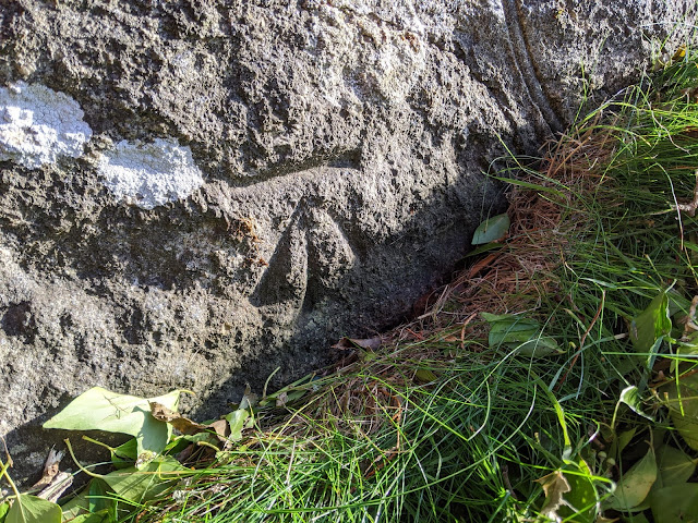 |
| B.M. 0912.2, SWF, Moortown FM Bldg SX 66463 89097 |
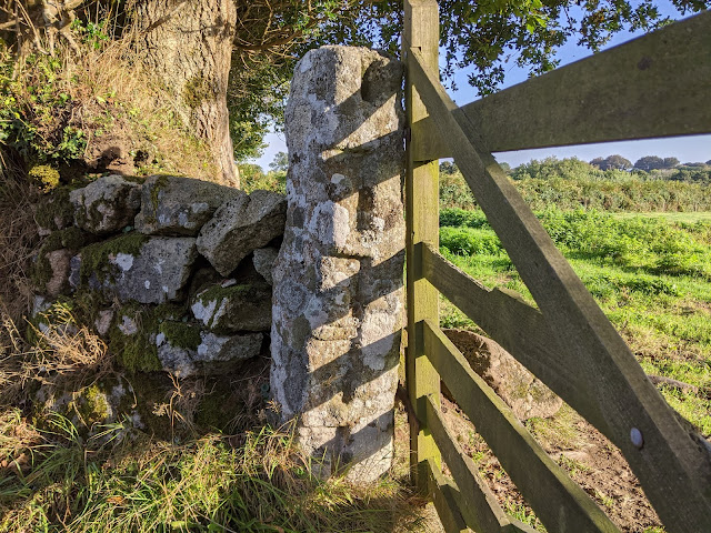 |
| Slotted Gatepost near Thule SX 66508 88830 |
Before I dive into the tors, Gidleigh is deserving of a mention here: it is only a small hamlet cross village but boasts an abundance of interest. There is a stunning church as well as an old animal pound, a castle (which is sadly private) and more slotted gateposts on the outskirts. When you say Gidleigh you immediately think of Gidleigh Park, the luxury hotel and restaurant to the east and south.
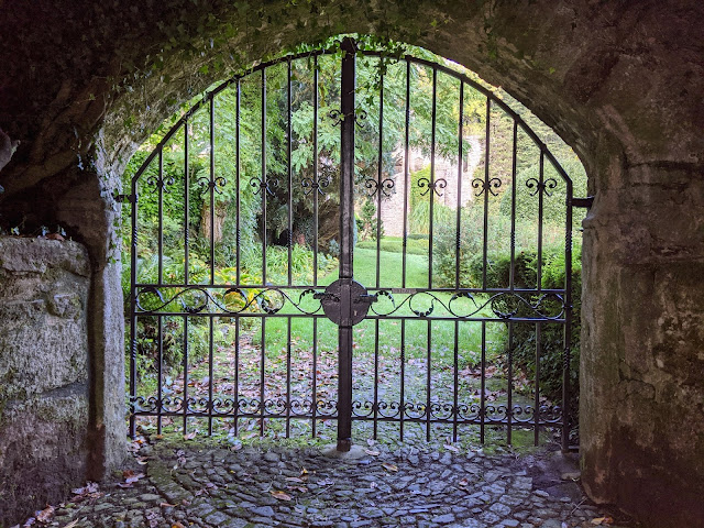 |
| Entrance to Gidleigh Castle |
 |
| Gidleigh Church |
We followed the public footpath to the gateway of Gidleigh Woods' northern edge, turning right and heading up to Gidleigh Tor on a good track. Since my first visit, in November 2018, the landscape here has become swallowed by encroaching gorse that rules out any (easy) perambulation of the tor. At one point we thought that reaching the nearby ruined summer house (which may or may not be Princep's Folly) would be impossible.
The tor is nonetheless stunning and offers wonderful views across the valley towards Kes Tor. It like that tor is populated with fine rock basins, each one a slightly different shape and most holding water. Residing on private land, Gidleigh Tor is often thought of as permissive access, but beyond and off this track permission to roam should be sought first.
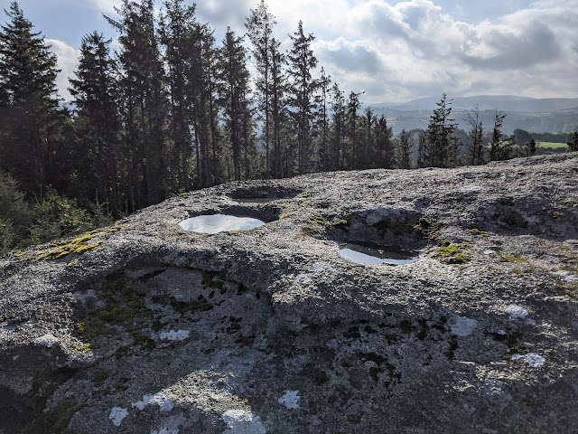 |
| Gidleigh Tor Rock Basins |
 |
| Gidleigh Tor |
Now onto the new stuff. PR led us from Gidleigh Tor to the first new tor of the day that he called 'Little Gidleigh Tor'. The first outcrop we came to was a great start, a pleasing pale compact mass adjacent to a track. This was only the start, though, as what lay below was an even better outcrop, a long, fissured one in the trees on the rapidly declining slope. We deduced that as these twin outcrops lie about 100 metres away from Gidleigh Tor, they are sufficiently detached to warrant their own identity.
 |
| Little Gidleigh Tor, Upper Pile |
 |
| Little Gidleigh Tor, Upper Pile |
 |
| Little Gidleigh Tor, Lower Pile |
 |
| Little Gidleigh Tor, Lower Pile |
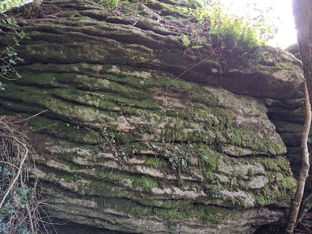
We delved deeper into the woods, heading west, where we dropped down and reached an extensive emergent tor consisting of parallel 'walls' of granite. Later research would discover that this area is known as 'Higher Park', that name shown in the historic Tithe Appointments of the 19th Century. PR noted a higher outcrop that PB and Tim saw, but I was more interested by the section just above the river.
Higher Park Tor, therefore, seems a most appropriate appellation.
 |
| Higher Park Tor |
 |
| Higher Park Tor |
 |
| Higher Park Tor |
Down by the river now, we picked up a path that followed it downstream to a pond and a ford, and here we turned left to follow a track up the hill before leaving it to explore the upper reaches of Gidleigh Bottom Tor. Having noted the lower rocks three years ago, I was oblivious of how grand the rocks above would be. PR guided us to a huge stack and this maze of granite was a joy to explore.
 |
| Gidleigh Bottom Tor and the track |
 |
| Gidleigh Bottom Tor, Upper Rocks |
 |
| Gidleigh Bottom Tor, Lower Rocks |
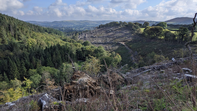
Having crossed the footbridge over the river, we were faced with the steep uphill through South Park to the higher track that the public footpath led to. It was steep but short and once we made it to the top we turned right and enjoyed the gentle walking. Turning around we were rewarded with a thrilling vista embracing the entire valley, the left side densely forested and the right felled, where we were now.
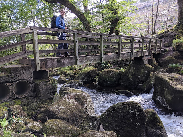 |
| Footbridge below Gidleigh Tor |
 |
| South Park |
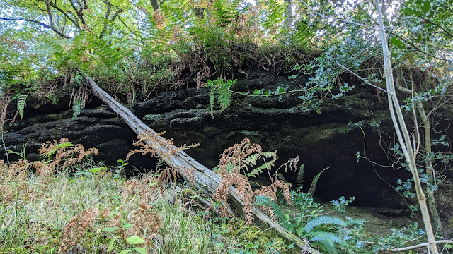
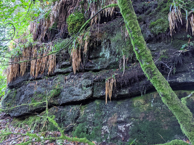
It wasn't immediately obvious but we were at the next tor already, and PR stressed that he reckoned there'd be more below. The summit rocks, which are on the very edge of the felled section, are moss-cladded and herald the start of a splendid tor. PR and PB remained by the higher outcrop, this from below presenting as a ledge, while Tim and I descended to the middle outcrop, a dark, shadowy wall of rock that is decorated in climbing plants. Tim took this as an opportunity to sip at his soup.
 |
| South Park Tor, Upper Outcrop |
 |
| South Park Tor, Middle Outcrop |
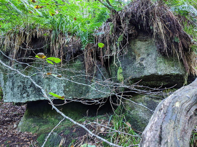
For some reason I wasn't content: I knew there was more below so I had to investigate. Tim and I parted ways and I carefully descended the muddy channel between outcrops taking me to an impressive stack of no less than 15-20ft high. This is surrounded by other rocks with crevices and the abundance of long, bright green grass below and on top of the granite gave off the impression of being in a rainforest.
The going here is tricky and I found myself clinging onto branches and rocks to aid my footing. This is only a short way above the river but the terrain between would be perilous for anyone mad enough to tackle it.
 |
| South Park Tor, Lower Outcrop |
 |
| South Park Tor, Lower Outcrop |
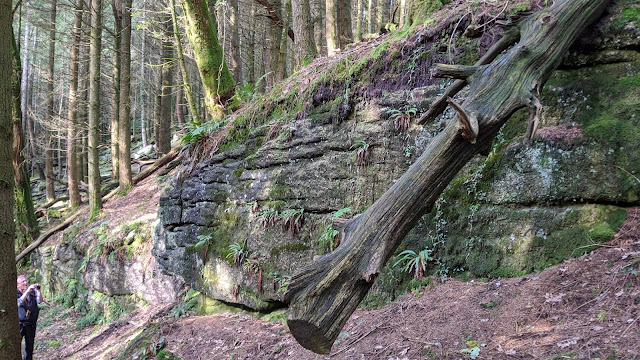
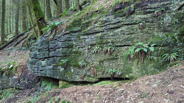
Back at the summit rocks we rejoined the Pauls and decided that it was time for lunch. We then retracted our steps back to where we left the public footpath at the top of South Park and made our way eastward to the next pile of interest, one that was to be termed by the group as 'South Park Rocks' as it covers a relatively large area. Sadly, the recent felling has caused damage to the rocks and they are now surrounded by tree stumps and branches, while some rocks have been sliced to make way for logging tracks to access the site.
Amazingly, one significant outcrop remains, and inspite of the damage provides mesmerising views of the valley and still remains in situ.
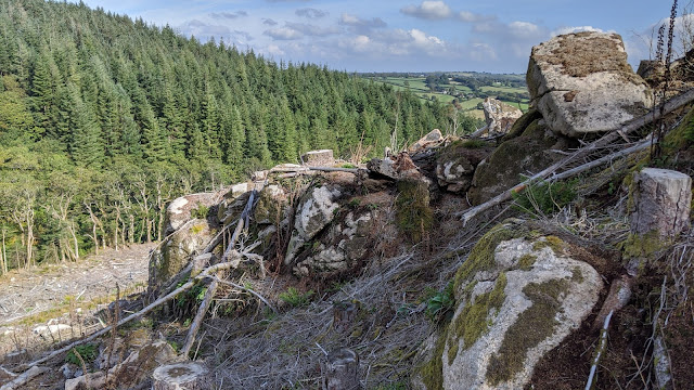 |
| South Park Rocks |
 |
| South Park Rocks |
 |
| South Park Rocks |
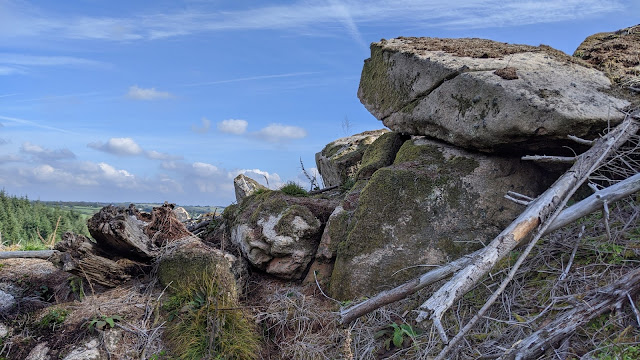
Back to the security of the track, heading further east took us to where three parishes meet at a wall junction; I assume Gidleigh, Throwleigh and Chagford. It wasn't immediately obvious to us but stepping into this more native (and untouched) woodland saw us enter land owned by a different landowner, although only briefly and with no harm intended.
We were at the top of some lowly outcrops that were a teaser for the magnificent rock field below. Giant granite boulders and outcrops, all enriched by their vibrant moss, stud the slope and I have found that the woodland here is called Balls Wood, after checking historic Ordnance Survey (OS) Maps. A wall divides the rocks and two of the parishes for that matter.
 |
| Balls Wood Tor |
 |
| Balls Wood Tor |
Across the wall the outcrops continued, culminating in two impressive riverside stacks. We came to the conclusion that they are related to Balls Wood and hence 'Balls Wood Tor' seems apt for this great sprawl.
 |
| Balls Wood Tor |
 |
| Balls Wood Tor |
Back in South Park we took tracks westward to follow the the south side of the river to reach that footbridge again. Once over we headed east and towards the weir where we reached the boundary of the Gidleigh Park Estate. A few low outcrops in this area, but nothing significant so we moved on.
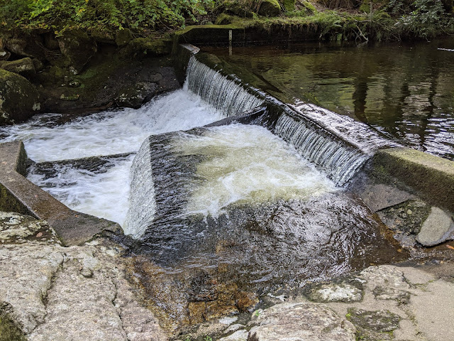 |
| North Teign Weir, Gidleigh Woods |
 |
| Weir Rocks |
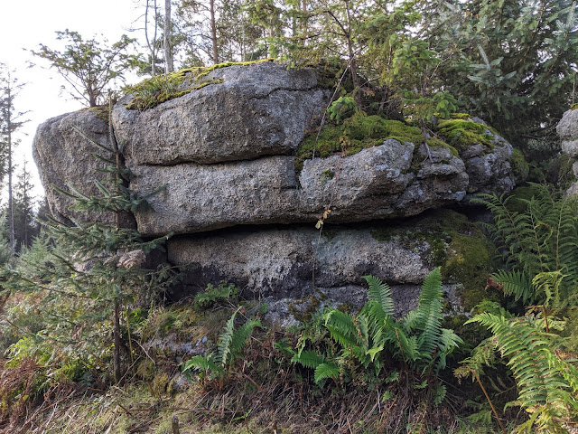
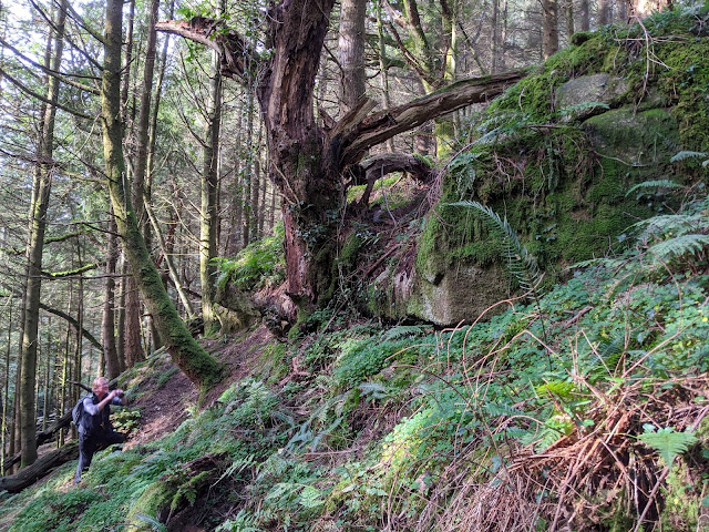
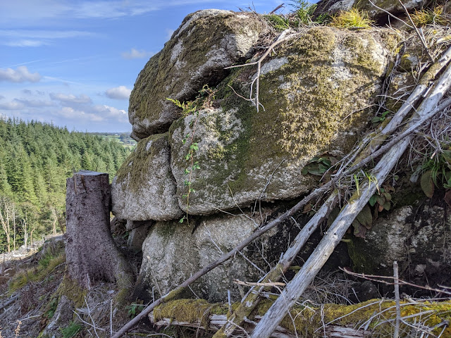
Uphill PR pointed out a giant block that he sensibly dubbed 'Gidleigh Rock', and on approach, I could note that we all approved. Before even reaching it I said "I approve!"
Perambulating it revealed a huge chunk of rock which strangely is detached from those above and to the west. From the underside it resembles a cheerful face, smiling on approach, almost as if it is happy that we have finally arrived to give it the recognition it deserves!
Well done to PR for spotting it. Interestingly, this outcrop did not go unnoticed as it is marked on some
old OS Maps, but it was left unnamed.
 |
| Gidleigh Rock |
 |
| Gidleigh Rock |
 |
| Gidleigh Rock |
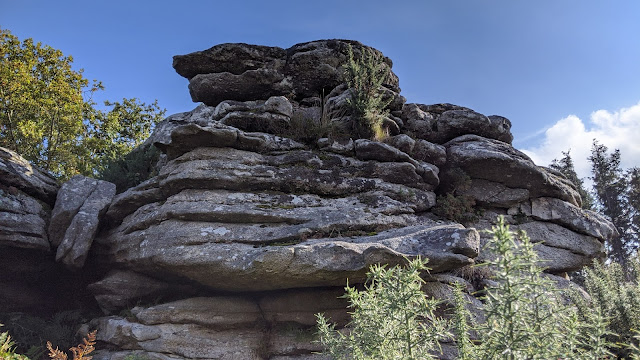
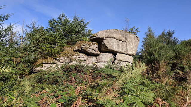
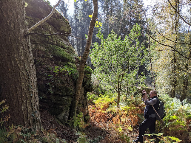
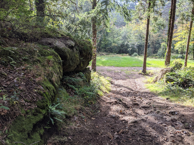
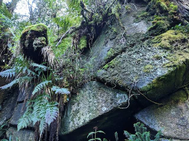
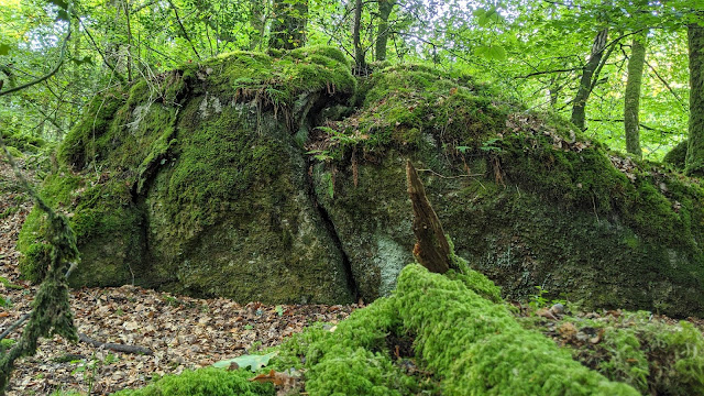
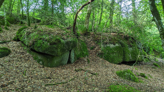
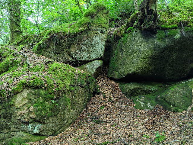
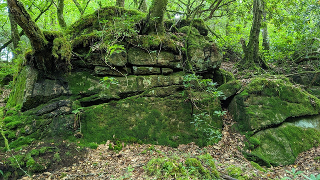
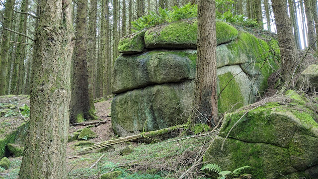
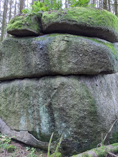
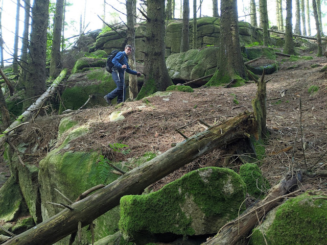
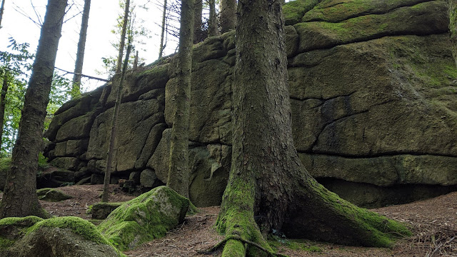
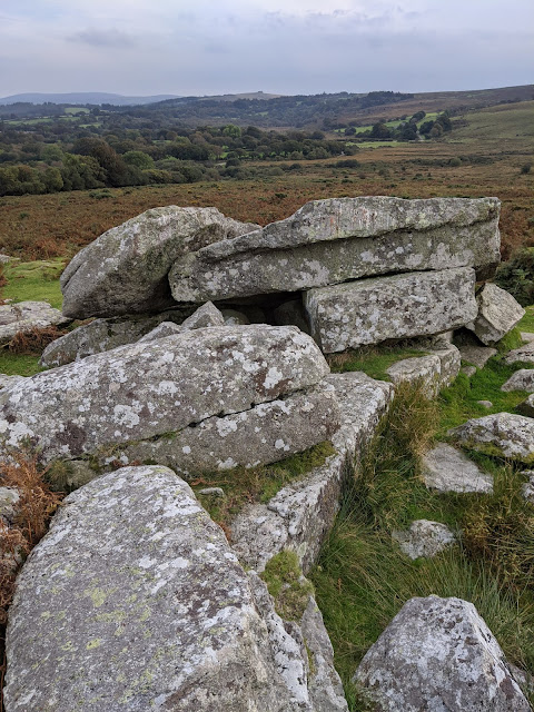
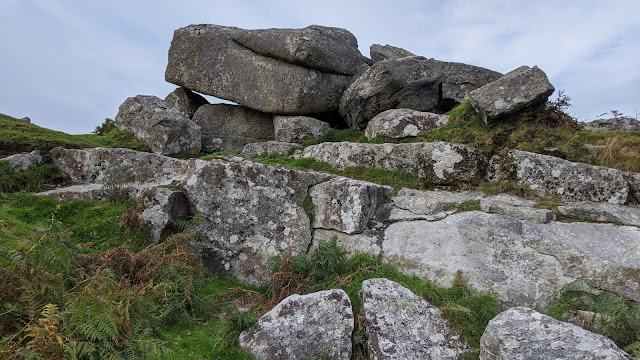
Tearing ourselves away from this beauty was difficult, but we all knew (barring PB, who hadn't yet visited) what was to come; North Park Tor, sometimes called Lower Gidleigh Tor. This was noted by Tim in Dartmoor Magazine Spring 2017 and is a truly majestic set of granite outcrops. They loom above the public footpath that stretches through the woods.
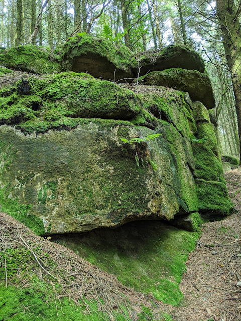 |
| North Park Tor (Lower Gidleigh Tor) |
 |
| North Park Tor (Lower Gidleigh Tor) |
 |
| North Park Tor (Lower Gidleigh Tor) |
Ascending further we rejoined the track to Gidleigh Tor that we took earlier, heading in the opposite direction, and before long were back in Gidleigh where we exchanged our greatest thanks to PR for obtaining kind permission to explore Gidleigh Woods and for guiding us to the rockpiles. It was a tremendous adventure and one of the finest I've been a part of. Woodland tor hunting is back in my portfolio! Bring on winter!
PR is a Dartmoor Guide but is also the Editor of the bi-monthly magazine Dartmoor News, and gives illustrated talks on a variety of subjects that extend beyond just Dartmoor. Relevant websites are
here and
here.
PB, Tim and I chose a different route back, via public footpaths and public bridleways, visiting Higher Shilstone that I needed for Dartmoor 365.
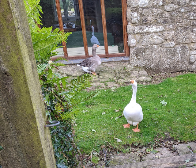 |
| Lower Shilstone Geese |
 |
| Higher Shilstone |
At the cars I couldn't resist another visit to Shilstone Tor, only because it was so close. I am once again disappointed with this tor. It has no wow factor and has been brutally exploited by stonecutters. The views are nice enough but it's not a destination for me.
The name most probably derives from 'Shelf Stone', so there is that interesting aspect about it.
 |
| Shilstone Tor |
 |
| Shilstone Tor |
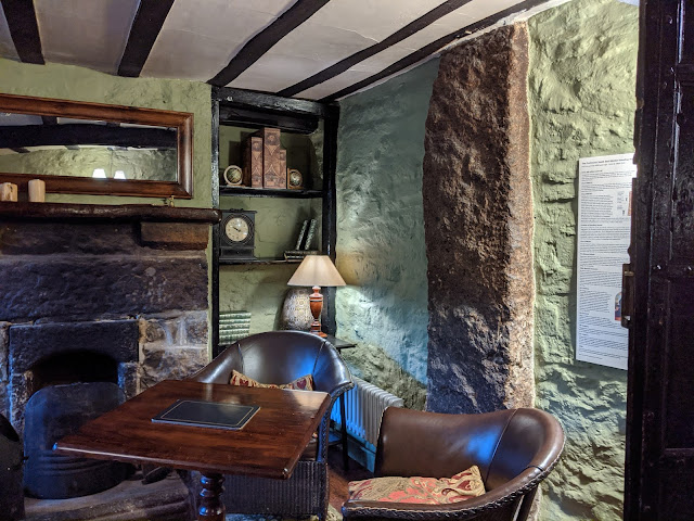
We drove to South Zeal so we could enjoy a pint (or in my case a dull glass of water) at the Oxenham Arms, which has a huge beer garden. South Zeal has a very useful car park and it is here that a recently re-erected stone can be found; SZ4/DC4. You can find out more by visiting PB's
blog post.
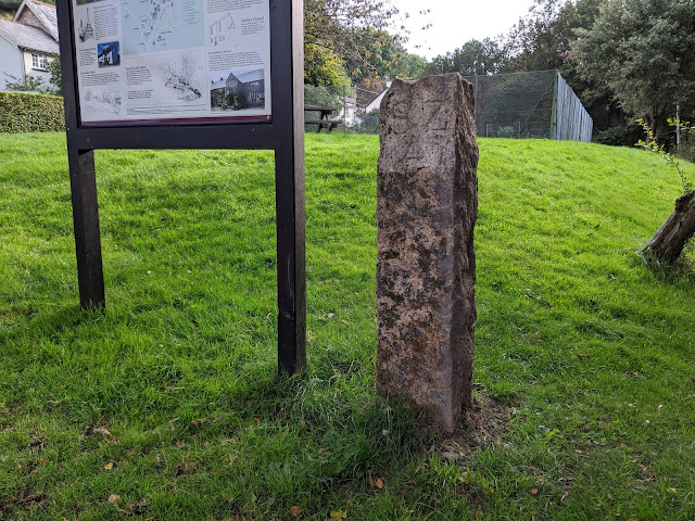 |
| SZ4/DC4 Boundary Post, South Zeal (Repositioned August 2021) SX 65178 93425 |
 |
| Oxenham Arms |
The pub is also well-known for housing a massive prehistoric standing stone.
 |
| Oxenhams Arms Standing Stone (South Zeal Menhir) |
So, the verdict of the day? Well, it was a fabulous walk, just shy of 10 miles and visiting many previously unknown tors and rocks that, were it not for PR's previous visits to the area, would be unrecognised.
I am also sincerely grateful to Tim and PB for accompanying me on this walk and, together, we can now go ahead and add these outcrops to the Tors of Dartmoor database which, if you are yet to visit for yourself, is well worth a look.
Many thanks to PR, PB and Tim.
No comments:
Post a Comment