 |
| Black Tor (Okehampton) |
I don't visit this area enough. When looking at my tor bagging progress map, I noticed a significant area of orange, or red, meaning unbagged. I wanted to remedy that with a walkout of Meldon Reservoir... with a small diversion.
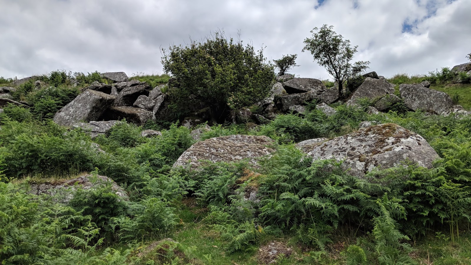
Parked up at the very good Meldon Reservoir car park, we headed up the large mound known as South Down, immediately leaving the track after the gate to arrive at South Down (north-east), a small area of exposed metamorphic rock first noted by Paul Buck. In fact, Paul is credited for all of the outcrops on this down.
As you ascend the hill to the higher section, the views become even more extensive.
 |
| South Down (north-east) |
 |
| South Down (north-east) |
 |
| South Down (north-east) |
 |
| South Down (north-east) |
We rejoined the track, taking shade under some dense tree cover. We followed the wall below Sourton Tors, over a ford to a small unnamed tor at SX 5535 9001.
 |
| South Down line of trees |
 |
| Gatepost and Corn Ridge |
 |
| Unnamed outcrop |
 |
| Unnamed outcrop and parachutist |
From here, we got a good view of the forbidden South Down (south-east). Why it is private is down to the footpath below being inaccessible thanks to an access agreement between DNPA (Dartmoor National Park Authority) and the landowner ending.
For the full story, go
HERE.
 |
South Down (south-east)
|
|
 |
South Down (south-east)
|
|
 |
| South Down (south-east) |
|
 |
| South Down (south-east) |
|
It was a steep albeit short descent to the footbridge over the West Okement River. Choosing to not walk around the east side of Meldon Reservoir, we struck right, uphill, getting the odd glimpse of the 'Island of Rocks'.
This is exactly what you would expect of such a name: an island surrounded on all sides by the river with rocks strewn everywhere.
At this time of the year, the bracken really hinders your viewing so I'll be back in winter for a better look.
 |
| West Okement below the Island of Rocks |
 |
| The Island of Rocks |
 |
| The Island of Rocks |
 |
| The Island of Rocks |
Noting some low, ruined outcrops high up on the left, now termed 'Homerton Hill Rocks', following the river was actually quite relaxing, with its cascading water tumbling over the mossy granite. However, this didn't last for long as the track disappeared into a feather bed.
 |
| Homerton Hill Rocks |
 |
| Homerton Hill Rocks |
 |
| West Okement River |
 |
| Beside the West Okement River |
We exited the copse the way we entered, to get onto better ground to begin ascending the huge eminence of Black Tor (Okehampton). For me, this was quite a struggle, probably because of the heat, but we stopped plenty of times to 'take it all in' and we eventually reached the northernmost outcrop.
 |
| Black-a-Tor Copse below Slipper Stones |
 |
| Black Tor north |
 |
| Black Tor north |
But the tor continued southward, the middle outcrop also a fine one, which possesses great views of the northernmost outcrop but also the southernmost and highest. I must confess we were in a haste to reach the summit, so passed this one with little interest. Black Tor, I'm sorry.
 |
| Black Tor middle |
 |
| Hampster Tor from Black Tor middle |
We chose the highest outcrop for lunch, providing awesome views of the valley and Slipper Stones, but also up to Fur Tor and Cut Hill.
 |
| Black Tor south |
 |
| Black Tor south |
 |
| Black Tor (Okehampton) south |
 |
| Black Tor south view of Slipper Stones |
 |
| Black Tor south |
Time to head back, reaching the track north to Longstone Hill which from here is a gentle and pleasant stretch of track to walk along.
 |
| Longstone Hill |
 |
| Dilapidated cairn atop Longstone Hill |
The track chooses a kind descent to the reservoir where we got a good perspective of Meldon Tor, a name provided to me by
Paul Rendell who, to paraphrase, says that the name of Meldon Tor was in use as early as the 1970s during the construction of Meldon Dam, which opened in 1972, and it was Mr Walker, the supervisor, who supplied Paul with over 100 photos and slides of the construction after his wife sadly passed away.
 |
| Meldon Tor |
 |
| Meldon Dam, Meldon Tor on the left |
 |
| Meldon Reservoir |
Almost at the car park, we turned right through a gate (opposite to the one at the beginning) in order to summit the tor before ending our walk.
 |
| Meldon Tor summit |
 |
| Meldon Tor looking up to South Down North-East |


No comments:
Post a Comment