 |
| Welcome to Dartmoor National Park |
Consulting my tors and rocks map I had noticed a fair number of unbagged ones in the Hennock area. I have walked here a lot, but with new information from Tim Jenkinson about some undocumented outcrops, and the day being a hot one, I chose this walk as it offered shade. I wasn't going to go crazy on miles, but knowing me I would do some; 12 miles in total so I'm glad I packed 6 large bottles of water!
Trough Lane was the first road of the day, heading north-east out of Bovey Tracey. It was painful, and I can see why I had never walked it before with lots of ascent and descent in addition to the twisty turns around each bend. Luckily for me I met 1 car, and I was soon at Five Lanes.
 |
| Trough Lane |
I like Five Lanes. There is a lovely bench at this crossroads, including the iconic Dartmoor National Park logo alerting visitors that they are entering Dartmoor. Also, a sign for Hennock and a few other things! I sat down, calming down from that horrible walk up Trough Lane, before taking the wide bridleway to go in search of the elusive Bottor Rock.
 |
| Welcome to Hennock |
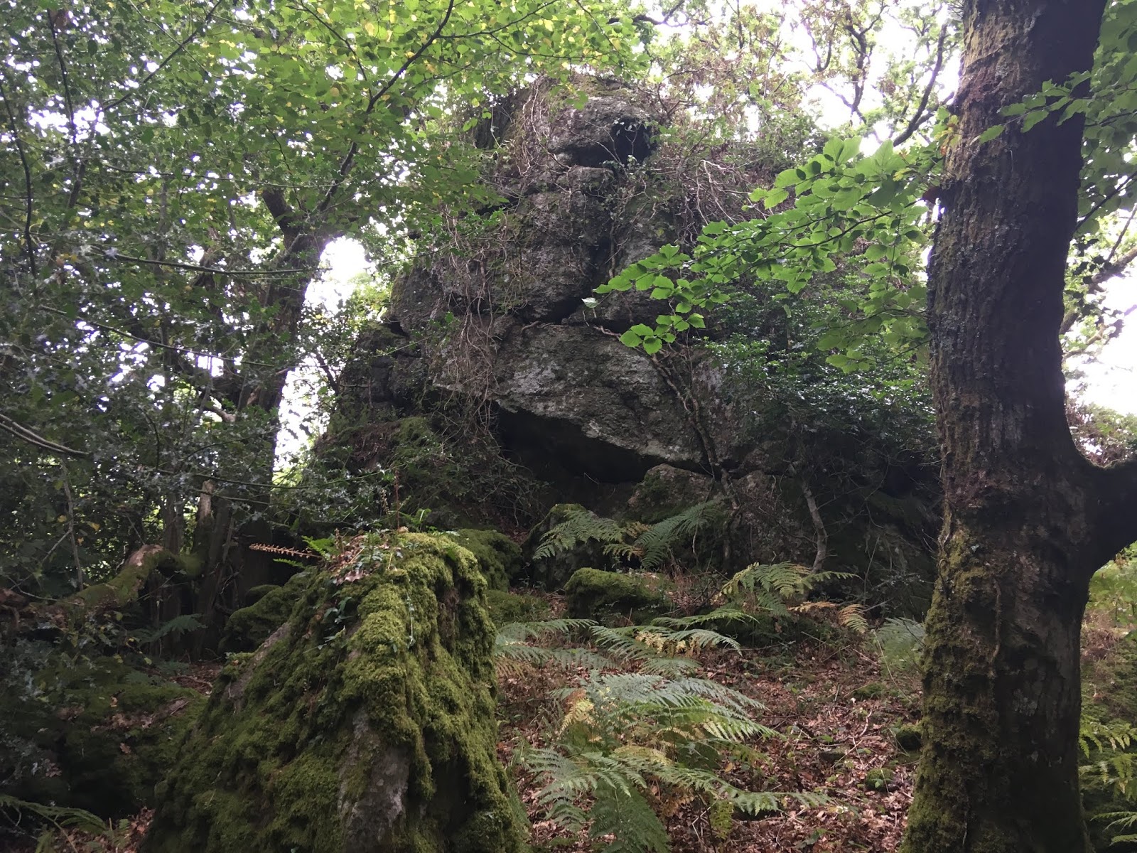
According to my GPS, I was at the location where I had to off-road to find Bottor Rock, also known as Bot Tor. Having read descriptions, not that I considered using them at the time, it was a simple walk over unkempt land to this great tor. I crawled under the barbed wire fence, doing a poor job, by the gate.
I was very surprised to find a well-trodden footpath to the rock. Sure, it could be the landowners' way of getting to the tor, but this one came right from the barbed wire so it's unlikely! I was very careful because I could see the house below and I moved swiftly, quietly to photograph this tor without causing any concern. Although I couldn't enjoy the scene to its full potential, I liked what I saw, a large metamorphic outcrop.
 |
| Stumbling around for Bottor Rock |
 |
| Bottor Rock |
 |
| Bottor Rock |
 |
| Bottor Rock |
Contented with the photos, I headed back to the public bridleway, on yet another well-walked footpath through the woods. It was clear I was not the only tor bagger using this route, and it is a short and easy 25 metres there and back. But I can't fathom why there can't be a permissive path to this one, given that it is marked on maps. Such a shame.
At Chericombehead at the top of Beadon Lane, I came across a bench. However this wasn't the time for sitting down just yet, but I appreciate whoever put it there in the first place.
 |
| Bench |
 |
| Greatrock Farm |
I strolled down Bell Lane, the better end, skirting the pleasant village of Hennock, into the woodland beside Twizzle Tree Cottage. There is a sign warning visitors of the danger here and to keep to the footpath. For the majority of the walk through the woods I did, more on that later.
 |
| Hennock village |
First up, the excellently named Twizzle Tree Tor, or so I thought since, some two years after writing this, I have found out that the main part of the tor resides further down the hill to the north-east and not here! A revisit to the area is in order!
 |
| Metamorphic rock, outlying rocks of Twizzle Tree Tor |
 |
| Twizzle Tree Tor outliers |
 |
| Twizzle Tree Tor outliers |
 |
| Twizzle Tree Tor outliers |
The next tor was a bit of a disappointment, possibly because I didn't explore it enough. Reason for this simply due to the abundance of mine shafts around Greatrock Mine. And I just couldn't risk more off the path walking at this point.
Tim Jenkinson mentions the next few tors, and he describes Lake's Copse; ''This is just part of a huge rock field above the track to the Great Rock Mine near Hennock." Indeed, there are scattered rocks on the valley side but only one small outcrop stood out to me, below the footpath, at SX 8265 8157. I had lunch here.
UPDATE! After speaking to Tim, it would seem that the tor is sited much further down the slope near the mine track. One day, he'll guide me there.
 |
| Lake's Copse Tor? An outcrop below the path from Twizzle Tree Tor. |
 |
| Lake's Copse Tor, or so I thought |
 |
| Lake's Copse Tor, or so I thought |
 |
| Not a lot more substantial |
 |
| TW M 1858 |
Next up, and sat either side of the footpath; Great Rock Copse Tor - the first tor on my walk through this woodland that I successfully bagged. This is a perfect name for an exceptional tor that, along with the next tor, could easily rival the better known Great Rock. My photos will not do the justice that this lesser-known tor deserves.
 |
| Great Rock Copse Tor |
 |
| Great Rock Copse Tor |
 |
| Great Rock Copse Tor |
 |
| Great Rock Copse Tor |
I had to leave the path once again, ascending to find Great Rock East. The name may not impress but this is another huge tor that is very intimidating to the naked eye. I love it and well done to Tim Jenkinson for noting it.
 |
| Great Rock East |
 |
| Great Rock East |
 |
| Great Rock East |
 |
| Great Rock East |
I had to watch my footing en route to Great Rock; mine workings were obvious and the last thing I wanted was to fall down a mine shaft! I should've heeded warnings but granite comes first, with safety being alone especially.
Great Rock, the first revisit, is stupendous. It takes a while to grasp the size of this large mass of granite but I didn't spend long here. I will always keep revisiting.
 |
| Great Rock |
 |
| Great Rock |
 |
| Great Rock |
Soon after, Easterndown Copse Tor (higher).
 |
| Easterndown Copse Tor (higher) |
 |
| Easterndown Copse Tor (higher) |
My second attempt on descending to Easterndown Copse Tor (lower) and with a GPS there really are no excuses to mess this one up! Instead, I found myself surrounded by new saplings and logs everywhere above Beadon Brook. Eventually, I explored more of the tor after ascending again to this good example of a ruined tor.
 |
| Easterndown Copse Tor (lower) I think, or it could be in between |
 |
| Easterndown Copse Tor (lower) |
 |
| Easterndown Copse Tor (lower) |
 |
| Easterndown Copse Tor (lower) |
A bit of road walking, then on a good track to Hyner Rocks. I was expecting a well-defined track to the metamorphic summit; I couldn't have been more wrong!
Despite the view, I was pretty disappointed with this tor, for the lack of a place to sit and not much interest in rock formations around. Of course, I didn't investigate lower, by the brook, so I can't be too judgemental.
 |
| Hyner Rocks |
 |
| Hyner Rocks |
 |
| Hyner Rocks |
 |
| Hyner Rocks |
 |
| Hyner Rocks mudstone |
The track contoured the long way around the hill known as Canonteign Down, and it felt weird being able to hear the sound of those within the Canonteign Falls tourist attraction. They were in spitting distance and the falls could almost be seen, certainly heard. I have always wondered what is stopping me from entering from here, apart from the cliffs and steep descent.
Sure enough, I came across the leat that transports water to the falls itself. I was impressed by a manmade structure being so peaceful, like the Devonport Leat. No one else in sight. The leat seemed to have a lock that diverts water to another place. I do not know exactly.
 |
| Canonteign Leat |
Various forestry tracks led me to the road at Shuttamoor, where the poor Shuttamoor Rock should be viewed. First described by
Paul Buck, this lonely outcrop is perched atop a spur on private land. It looks large, although on my visit the trees, unfortunately, obscured any decent view of the rock.
 |
| Shuttamoor Rock |
 |
| Shuttamoor Rock |
The road steepened to my joy before reaching Tottiford Reservoir. From here I followed the bank road over Trenchford Dam and along Bell Lane past Shaptor Wood and Bearacleave Wood, down to Bovey Tracey on Furzleigh Lane.
 |
| Tottiford treeline |
 |
| A small cliff at Trenchford |
 |
| Trenchford Reservoir |
 |
| Welcome to Kennick, Tottiford and Trenchford |
 |
| Resting on Furzeleigh Lane for the last leg |
A great walk, though a little too much road for my liking. I suppose you have to expect that on East Dartmoor.


No comments:
Post a Comment