 |
| Figgie Daniel |
As I left Newton Abbot town centre on the bus and it started to rain I knew that today would go wrong somehow, it always does. I still kept Easdon Down in my mind for the walk, however. It did go wrong, slightly, or did it? Anyway, let's start off on a high though to say that some of today's tors were great!
Usually, I stay a little bit longer to admire the views of Yes Tor and Hamel Down. But the weather couldn't decide on its plans, so I took that it wouldn't clear up.
Now, after noticing a group of granite boulders on Google Satellite Imagery, I thought it'd be rude not to visit. I arrived at some clitter of a likely ruined tor, but three decent granite outcrops/boulders still surviving, well away from Easdon Tor.
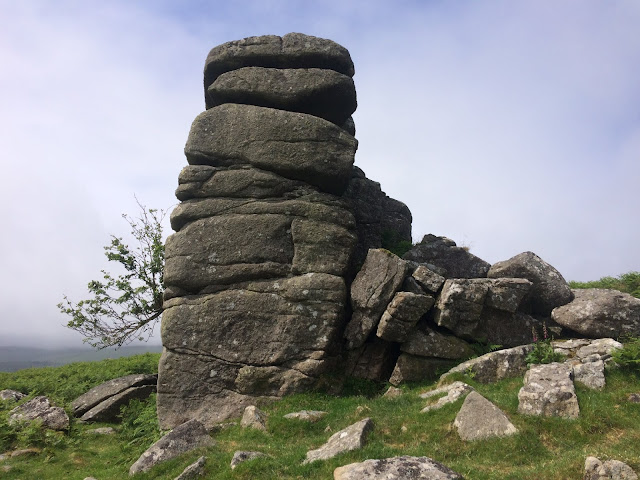
Figgie Daniel, my next target, is similar to Bowerman's Nose, both in name and appearance. The latter is much more well known, but Figgie Daniel definitely had something fascinating behind it.
For want of a tag, I named it Bowda Tor, after the old farmstead some way to the north-east in the woods. The reason we name lesser-known tors is, undoubtedly, for people to visit. It certainly does encourage the tor bagger to else why would you be in such a neck of the woods, in ferns?
There is a definitive path down to a field wall, near Barracott Farm. From here on everything goes COMPLETELY wrong for me!
There was an opening into the adjacent enclosure, where I suppose an old gate used to be. I went for it, up and over, around trees, stinging nettles, ferns. My GPS reassured me that I was on track, and it felt great to get closer and closer to this outcrop.
I found the highest outcrop, covered in moss. Comparing the image with both
Tim Jenkinson's and
Paul Buck's - it was clear I had come at the wrong time of year!
Barracott Tor was first mentioned a while back by Peter Sanders and photographed by Tim Jenkinson. I feel that this tor, which I have since discovered is on private land, is just becoming mercy of the bracken. Hopefully us tor baggers can help to ensure it is known, although I have no plans on a revisit anytime soon!
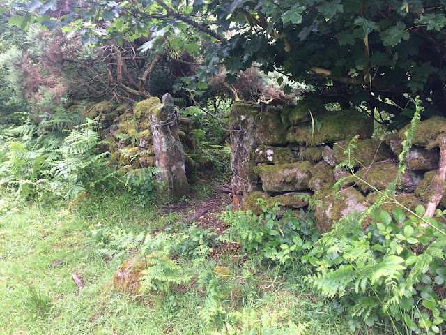 |
| Gateposts |
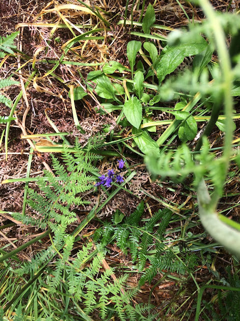 |
| Bluebell |
 |
| Barracott Tor |
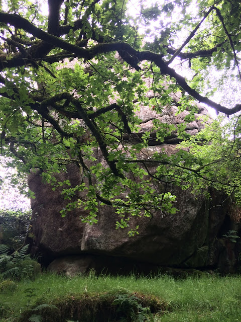 |
| Barracott Tor |
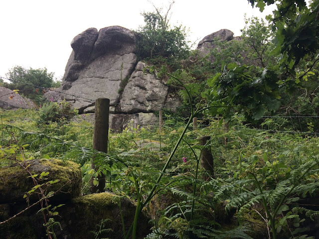 |
| Barracott Tor |
In the hope of making this a circular walk, and being stubborn, I thought there had to be an easier way to get out of this fern forest!
I tried to make for the footpath to Luckdon, to take the road near Manaton Rocks. There are holes in the ground everywhere, made by badgers. I was getting well fed up of being stung and of the issue with ticks.
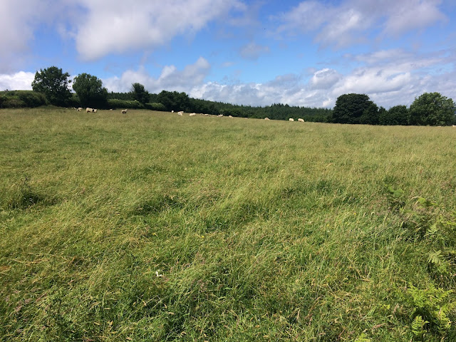
Eventually, I came to dense woodland. Checking my GPS, I was near the road, but with a field in the way. I'm not a fan of trespassing myself, but an open gate encouraged a quick dash. I ignored the sheep and made sure I was doing no harm or distress along the way. Apologies!
On the road, I realised how lucky I hadn't hurt my ankle. To put it simply... I'm an idiot!
 |
| A 'shortcut' |
At the bottom of Langstone Hill, I cut across the field to the public footpath into the woods. The woodland and path to Manaton Rocks reminded me of Shaptor Wood: that being twisty, with boulders, and steep in places.
Across some deep mud, nearly lost my foot! Outcrops became apparent, as I found out, this was not the surprise I was expecting. Manaton Rocks has a signed footpath right to the summit! This is now one of my favourite Dartmoor views, with Haytor Rocks and Lustleigh Cleave most obvious.
 |
| Manaton Rocks |
 |
| Footpath for Manaton Rocks |
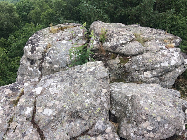 |
| Manaton Rocks |
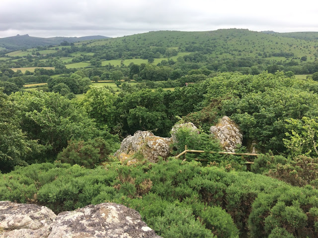 |
| Manaton Rocks |
Back on track, more outcrops became apparent. Mossy boulders before I crossed a couple stiles to enter Manaton, with its lovely church.
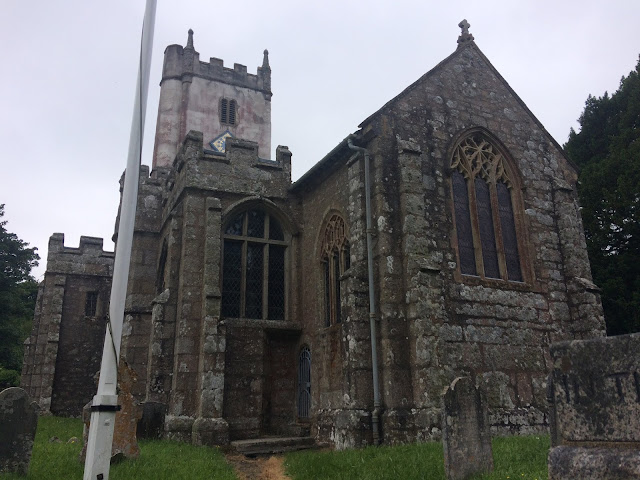 |
| Manaton Church |
I had time on my hands, so I went in search of 'Fernstone Tor' - an obscured granite tor in the woods, on private land. The house was clearly labelled, the tor not so much.
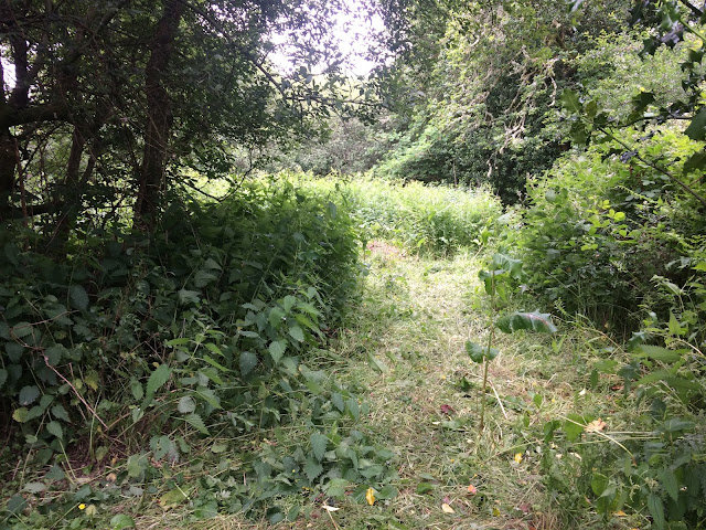 |
| In here? |
I gave up to get the bus at the car park.
This walk sounds like it was a long one. In truth, it was only 4 miles. However, it was adventurous and for once I would not recommend this walk to anyone!


I Loved reading this tonight, do glad you old walks are still available to read, Adam C
ReplyDeleteThanks Adam.
Delete